Welcome!
The Research Group of Spatial Information Management and Modelling (RIM) focuses on the management and analysis of spatial data as well as the application and development of theories and models of spatial systems. With the help of Geographic Information Systems (GIS), spatial analyses are carried out and visualised.
Modelling allows for understanding complex phenomena, e.g., by creating scenarios and deriving forecasts. Spatial data analysis is an integral part of all levels of urban planning and provides results on interdisciplinary topics, such as the consequences of climate change and land use for energy production.
News
ArcGIS Pro

Global Gallery Award for Smart Urban Areas project

TU Dortmund University / University of Cincinnati (USA)
![[Translate to English:] Xinhao Wang [Translate to English:]](/storages/rim-raumplanung/_processed_/2/3/csm_0050WangXinhao4188_5e11470427.jpg)
SMART URBAN AREAS - EXPERT WORKSHOP

SUA KICK-OFF Conference

KAHR Wissenschaftskonferenz 2022

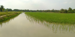
ViWat Mekong Planning


![[Translate to English:] Höhenprofil Dortmund [Translate to English:]](/storages/rim-raumplanung/_processed_/e/7/csm_datav_986993d371.png)