Exercises
Module 11: 3D-GIS in Spatial Planning

Description
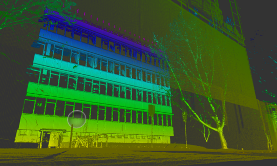
With the improvements in GIS technology, computer performance as well as data availability, the development and application of 3D city models is gaining wide attention in environmental and spatial planning. The course provides knowledge about raster-based 3D GIS analyses using 3D GIS data (e.g. SRTM, ATKIS-DGM, laser scanning) with regard to energy management, landscape protection and urban planning.
First, concepts for creating Digital Terrain Models (DTM) and Digital Surface Models (DSM) are trained. The handling and the work with important geodata for the construction of 3D building models, 3D city and landscape models, as well as laser scanning data are trained. The second focus of the course is to teach geoprocessing methods for 3D analysis and 3D visualization using ArcGIS Pro. The use of mobile and stationary laser scanning equipment of the Faculty of Spatial Planning is also taught.
After the course, a graded assignment of 30 hours has to be completed by the students. The knowledge gains of the seminar enable the participants to independently carry out 3D GIS analysis methods in spatial planning.
Note: This exercise is limited to 20 students. The registration process for all courses takes place at the end of the previous semester. Information and deadlines are announced on the department homepage and via e-mail.
Exam: Partial exam (graded)
Type of exam: Student assignment
The partial exam requires the active participation of the students. This includes in particular oral and written contributions to the discussion.
LSF view
Find out more about all RIM courses


