Head of research group
Prof. Dr. Nguyen Xuan Thinh
Phone
(+49)231 755-2247
Consultation
upon agreement
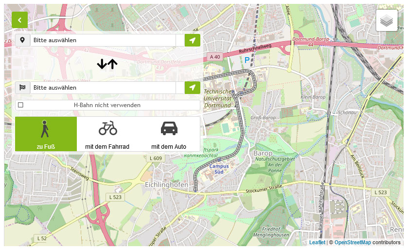
Campus Süd, GB III
August-Schmidt-Straße 10
44227 Dortmund
Room 3.315

- GIS, Remote Sensing, modelling and geostatistics teaching; BSc and MSc Spatial Planning as well as MSc SPRING
- Supervision of Bachelor, Diploma and Master theses
- Supervision of doctoral and habilitation theses
Since September 2012
Head of the ICT Unit and Chair of the IT Commission of the Department of Spatial Planning
Since October 2012
Member of the Faculty Council
01.10.2014 - 30.09.2015
Vice Dean of the Faculty of Spatial Planning
- Geoinformatics
- Remote Sensing
- GIS-analyses
- Multivariate statistical methods
- Modelling and Simulation
- Multi Criteria Decision Analysis (MCDA)
- Spatial data mining, forecasting methods
-
Since 1994 GI, Informatics in Environmental Protection, Simulation in Environmental and Geosciences, ASIM, AK Theory and Quantitative Methods in Geography (TQMGeo)
-
Since 2003 Member of the Programme Committee of "The annual International Conference Informatics for Environmental Protection (EnviroInfo)".
-
Since 2005 Member of the Programme Committee of "INTERCARTO INTERGIS International Conference on GIS and Sustainable Development".
-
Since 2005 German Society for Photogrammetry, Remote Sensing and Geoinformation (DGPF)
- Since 2005 Member of the German Classification Society http://www.gfkl.de/
-
German Research Foundation (DFG)
-
International Journal Computers Environment and Urban Systems
-
Journal Environmental Modelling and Software
-
Journal Cartography and Geographic Information Science
-
Journal GIScience
-
Journal The Professional Geographer
-
Journal of Spatial Research and Planning
-
Journal Photogrammetry Remote Sensing Geoinformation
-
Journal Spatial Research and Planning


